Objective
To provide local governments in low- and middle-income countries with better transport data so that they can manage their transport systems and install sufficient infrastructure.
Potential Impact
By collecting simple data quickly and cheaply, the tool will be a useful resource for cities that don’t have any transport data, making it possible to do early stage work and to help smaller cities attract investment.
Approach
ITP is developing a data collection tool that uses computer vision from many different sources such as dashcam footage from city buses and taxi drivers, to see what transport is like in specific areas, and where people are walking and cycling.
The data will then be plotted on a map, creating an evidence-based picture of the transport challenges of a city.
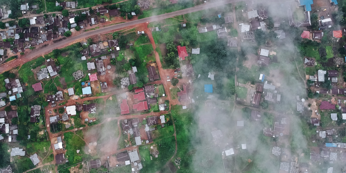
A basic prototype will be developed and tested in Bo, Sierra Leone.
Outcome
The project will provide local government with information on vehicle and pedestrian traffic which will enable them to more effectively manage their transport systems.
